Phoenix. The Valley of the Sun. Soon to be home to my sister and her girlfriend. They’re moving at the end of the month to start the next phase of their lives together. I am sad, of course, and yet happy for them on this exciting adventure. I am no expert in Phoenix, having only visited the city once, but as an urban planner, I am adept at researching city data. So, here I present some interesting facts and observations about Phoenix from a planning perspective.
It’s Big!
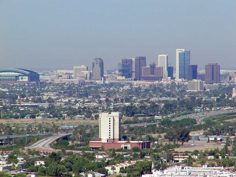
Phoenix’s population is 1.469 million people. The city alone accounts for 22% of the State of Arizona’s population, making it the primate city in the state. It’s the 6th most populous city, behind New York, Los Angeles, Chicago, Houston and Philadelphia. It’s metropolitan area is home to two-thirds of all Arizonans. It’s footprint is gigantic as well. Lying in the Salt River Valley of the Sonoran Desert, Phoenix spreads out over 516 miles, more than twice the land area of Chicago. And for all that land, it’s not particularly dense, with only 2,800 people per square mile, or about a quarter of Chicago’s population per square mile. This kind of density is hard to support transit, but you might be surprised that one of the newest and most successful light rail lines was built in the city recently (more on that below).
Getting Around
Given the size of the urban area and the character of its urbanism (suburbanism), a car is essential for reasonable travel. Unfortunately, your visitors will be arriving via plane, as the last passenger rail service was suspended in 1996. Phoenix is the largest city without intercity passenger train service. However, visitors landing at Sky Harbor International Airport have the option of taking the train. The Metro light rail system, a 20 mile single line system serving 28 stations, opened in 2008. The line serves central Phoenix, Tempe and Mesa. Back to being big – Mesa, at almost 440,000 people, is the second largest suburb in the U.S., ranking above many major cities like Miami, Atlanta, and St. Louis.
Sky Harbor is the main Phoenix airport and has a Southwest hub, very important for travel back to Chicago. It’s the 10th busiest in terms of passenger traffic.
Roads are plentiful. The main interstates are 10 and 17. I-17 will take you to Sedona in 2 hours, Flagstaff in 2 and a half. I-10 will take you to L.A. in 7 hours or so. As a Chicagoan, I was struck by the size of the arterial roads in the Phoenix area. Six lanes with a double left turn lane are common. It’s no wonder everyone drives.
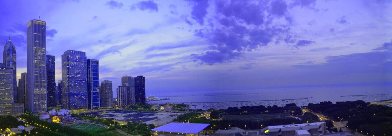
Similarities to Chicago
Not many as you might expect. But the obvious ones are sports related. The Chicago Cubs have the spring training home in Mesa, attracting a lot of Chicagoans to visit and retire. Also, not to be forgotten, is the fact that the Arizona Cardinals used to be the Chicago Cardinals until 1960. I also think Phoenix’s dominance as Arizona’s primate city and capital is somewhat similar to Chicago. And the prevalance of the cardinal direction street grid is familiar to Chicagoans.
Like all cities, Phoenix is fascinating and has an interesting story. From my perspective as an urban planner, particularly in the transportation realm, I am fascinated by the urban form of the region, how transportation or natural (or political) boundaries enforce the geography of a place. Phoenix has more stories to tell.
Cross posted at Ryan J. Richter.
